China intending to intrude India?

Though China states that the situation at the border is all “stable and controlled”, but the past actions have been seen to reflect differently. There were times when India has tried to invade India with brutal purposes of conquest, the actions amidst of coronavirus crisis can cause the country into a deep loss. But the question which arises is “Is India also ready?
As per the sources, China has increased the deployment of its patrol boats in Pangong Tso Lake in eastern Ladakh. Two weeks ago there was a clash between Indian and Chinese soldiers near this lake only. This area is near the Line of Actual Control in Ladakh.

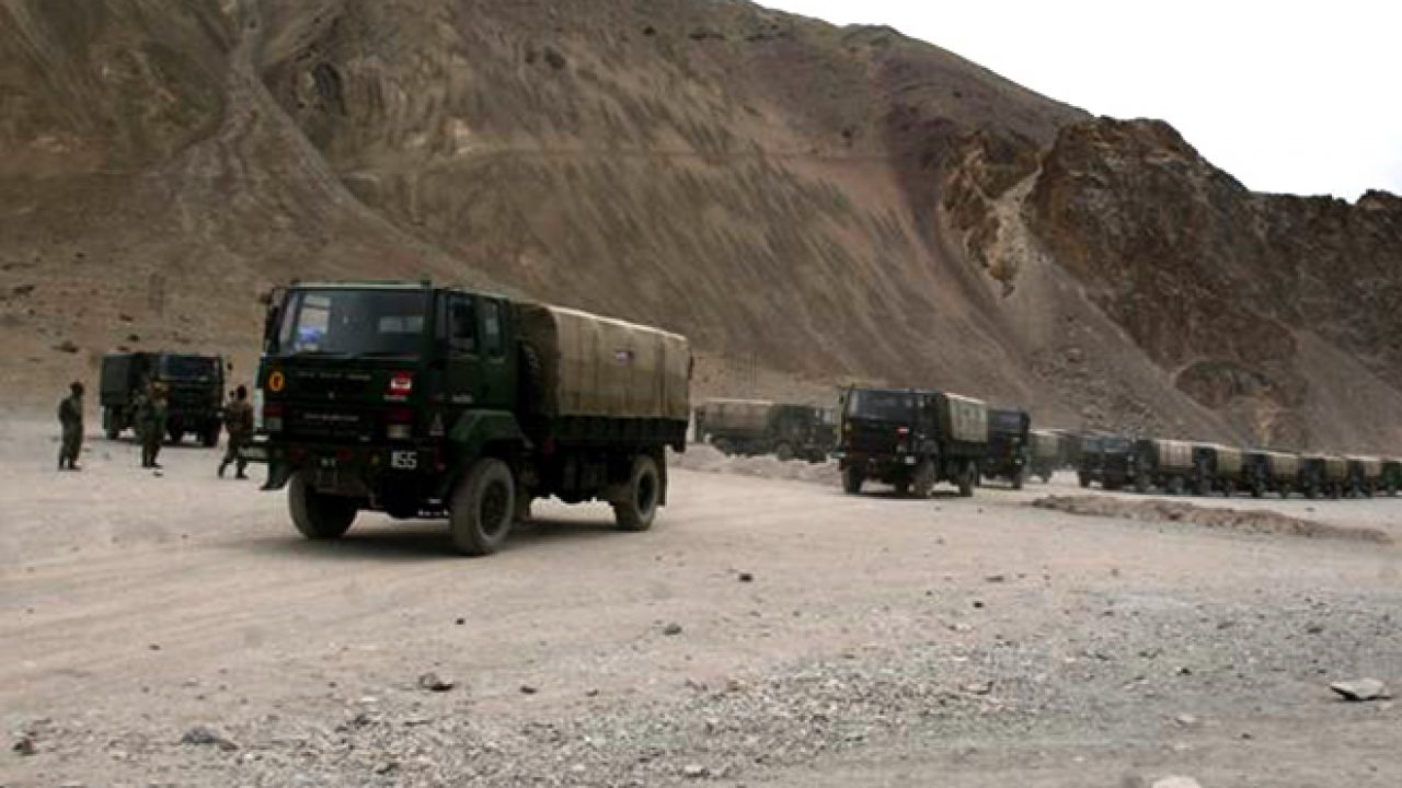
It was specified according to the sources that both countries are increasing the presence of their troops on the Line of Actual Control (LAC). India had said that some tents of the Chinese Army have been seen along the Galvan valley in Aksai Chin. Post this, India has also increased the deployment of the army there. At the same time, China continues to allege that India is making illegal defense-related construction near Galvan Valley.
Why does India and China get involved in disputes so often?
Years old border dispute
India shares a 3,488 km border with China. This border passes through Jammu and Kashmir, Himachal Pradesh, Uttarakhand, Sikkim, and Arunachal Pradesh. It is divided into three sectors – Western Sector ie Jammu and Kashmir, Middle Sector i.e Himachal Pradesh and Uttarakhand and Eastern Sector ie Sikkim and Arunachal Pradesh.

Due to unevenly marked demarcations between these two countries and the inadequate specification of the location of the lands, both countries continue to fight against the area allotment. India claims Aksai Chin in the western sector, which is currently under Chinese control. During the 1962 war with India, China occupied this entire area
Claims over Arunachal Pradesh, considering as Southern Tibet
Similarly, China claims Arunachal Pradesh in the eastern sector, China claims that it is a part of southern Tibet. China also does not accept the McMahon Line between Tibet and Arunachal Pradesh. China negotiates with this argument by saying that the agreement happened in 1914 and it happened in its absence, thus, China continues to disagree with it. Overall, China does not accept the McMahon line in Arunachal Pradesh and Aksai also rejects India’s claim over China.
It becomes questionable for India if China is planning to intrude on the country with troops or not. Tracing historically, one can see that it intruded on various lands such as Tibet. Tibet went through a brutal time just like Palestinians did in Israel. In 1914, Tibet was an independent country but China invaded with troops and took possession. China finally took Tibet in 1950.
Unclear boundaries- defining different Line of Actual Control
Due to these disputes, there could never be a boundary between the two countries. However, to maintain the status quo, the line of actual control i.e LAC term was used. However, it is still not clear. Both countries tell their different lines of actual control. Many glaciers, snow deserts, mountains, and rivers fall on this line of extreme control. There are many such areas along the LAC where tensions are often reported between the soldiers of India and China.
Gong Tso Lake
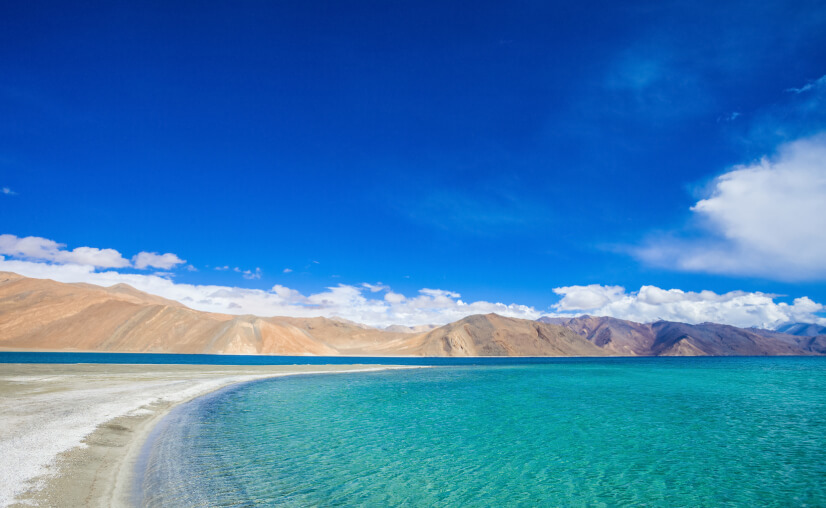
The 134-km-long Pangong Tso Lake is located in the Himalayas at an altitude of more than 14,000 feet. An area of 45 km of this lake falls in India, while 90 km area falls in China. The Line of Actual Control passes through this lake. It is said that one-third of the cases of encroachment from China in the western sector occur near this Pangong Tso lake.
The reason for this is that there is no consensus on the Line of Actual Control between the two countries in this area. Both have set their separate LACs.
Therefore, in the disputed part, many times there are skirmishes between the soldiers of both countries because they feel that the soldiers of the front country have come into their territory.

Strategically, this lake also has a lot of importance, because this lake comes in the way of Chushul valley, China can use this route to attack in India-occupied territory. This was the place from which China started its main offensive during the 1962 war. There have also been sources reporting that in the last few years China has also built roads on its side of Pangong Tso. The purpose remains mysterious.
Galvan Valley
Galvan Valley is a disputed area in Aksai Chin. The Galvan valley is located near the Indo-China border between Ladakh and Aksai China. Here the Line of Actual Control (LAC) separates China from India. This valley extends to southern Xinjiang in China and Ladakh in India.
SD Muni, a former professor at Jawaharlal Nehru University and an international affairs expert, says that these areas are strategically important for India as it is bordering Pakistan, China’s Xinjiang, and Ladakh borders. Even during the War of 1962, this area of the Galvan River was the main center of the war.
SD Muni says that China is calling the construction of India in the Galvan valley illegal because there has been an agreement between India and China that they will accept LAC and will not build new ones in it. But China has already done the necessary military construction there and now it talks about maintaining the current situation. To strengthen its position, now India also wants to build a strategic building there.
Protests against the unwanted road in Doklam
Though Doklam is a dispute between China and Bhutan. But Sikkim lies close to the border and has a tri-junction point, where China lies closely. Both Bhutan and China stake their claim on this area and India supports Bhutan’s claim. Also, China attempted to build a road in the plateau of Doklam without stating purposes in the area that belonged to India. The government revolted against this controversial act, the disputes lasted for approximately 70-80 days.
What if the road was built?
Besides, this area is also strategically important. If China had built a road in Doklam, India was afraid that it would have increased China’s access to connecting the northeastern states of India. Going forward, it could also be that China could try to seize the northeastern part of India by cutting that link.
At the same time, the knowledge of the Indian Army believes that Sikkim, which is near Doklam, is the place from which India can react to China’s attack. And this is the only place in the Himalayas on the border that the Indian Army understands geographically and can take advantage of its strategic advantage.
Claims over Tawang
China has always been eyeing the Tawang area of Arunachal Pradesh. He considers Tawang a part of Tibet and says that Tawang and Tibet have a lot of cultural equality. Tawang is also a major shrine for Buddhists. Therefore, it is said that China wants to take Tawang with it and hold its hold on major Buddhist sites like Tibet.
In fact, in 1914, when the agreement was signed between the representatives of British India and Tibet, then the northern part of Arunachal Pradesh, Tawang, and the southern part was considered as part of India.
During the India-China war in 1962, China also captured Tawang, but the geographical position of Arunachal is completely in favor of India, so China won the war and retreated from Tawang. Nathula is a mountain pass in the Himalayas which connects the Chumbi Valley in the state of Sikkim and South Tibet in India. From India, this pass is about 54 km east of Gangtok, the capital of Sikkim.
Situated at an altitude of 14,200 feet, Nathula is important for India as it passes through a group of Indians for the pilgrimage to Kailash Mansarovar in the Tibet region of China. Nathula was opened after several bilateral trade agreements in 2006, after being closed after the 1962 Indo-China war. Because there is no dispute on the Nathula border between India and China under the treaty of 1890.


